What we did
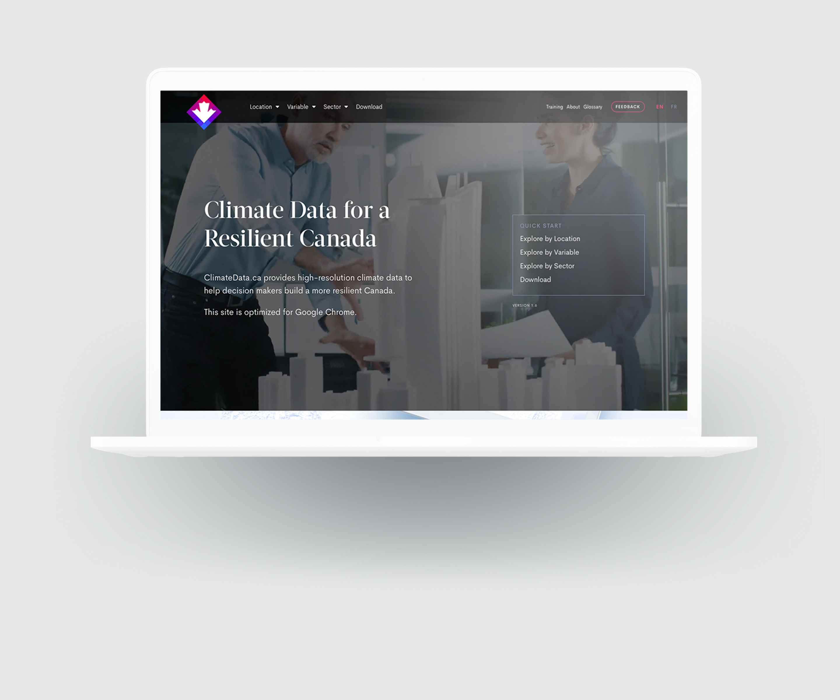
ClimateData.ca is the central federal portal for all high resolution climate data in Canada in support of building a more resilient country.
HabitatSeven led user research, design, and back-end development of ClimateData.ca to deliver over 20TBs of data directly from an array of NetCDF files.
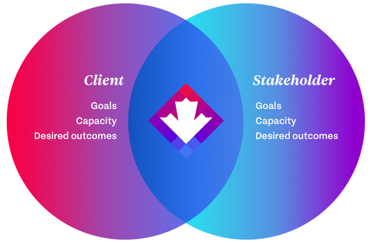
The challenge was to create a data delivery system and user interface for non-scientist decision makers for them to include climate risks into their planning and financial decisions.
User research and strategy
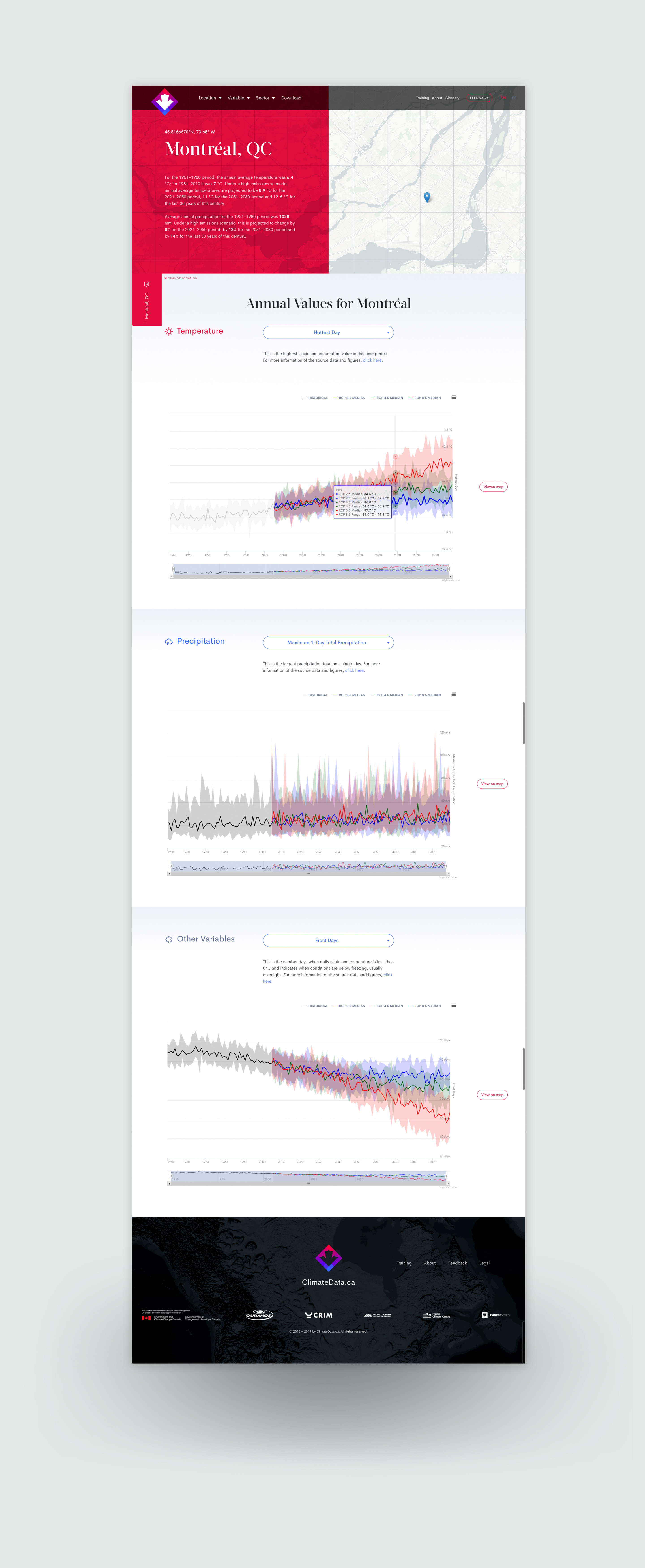
The biggest challenge for stakeholders was the general inability to access locally specific data in visualizations and file formats that they could understand as non-climate scientists. Thus, climatedata.ca was built to provide visualization of the data at the highest resolution available in maps, graphs, and CSV formats.
UX design
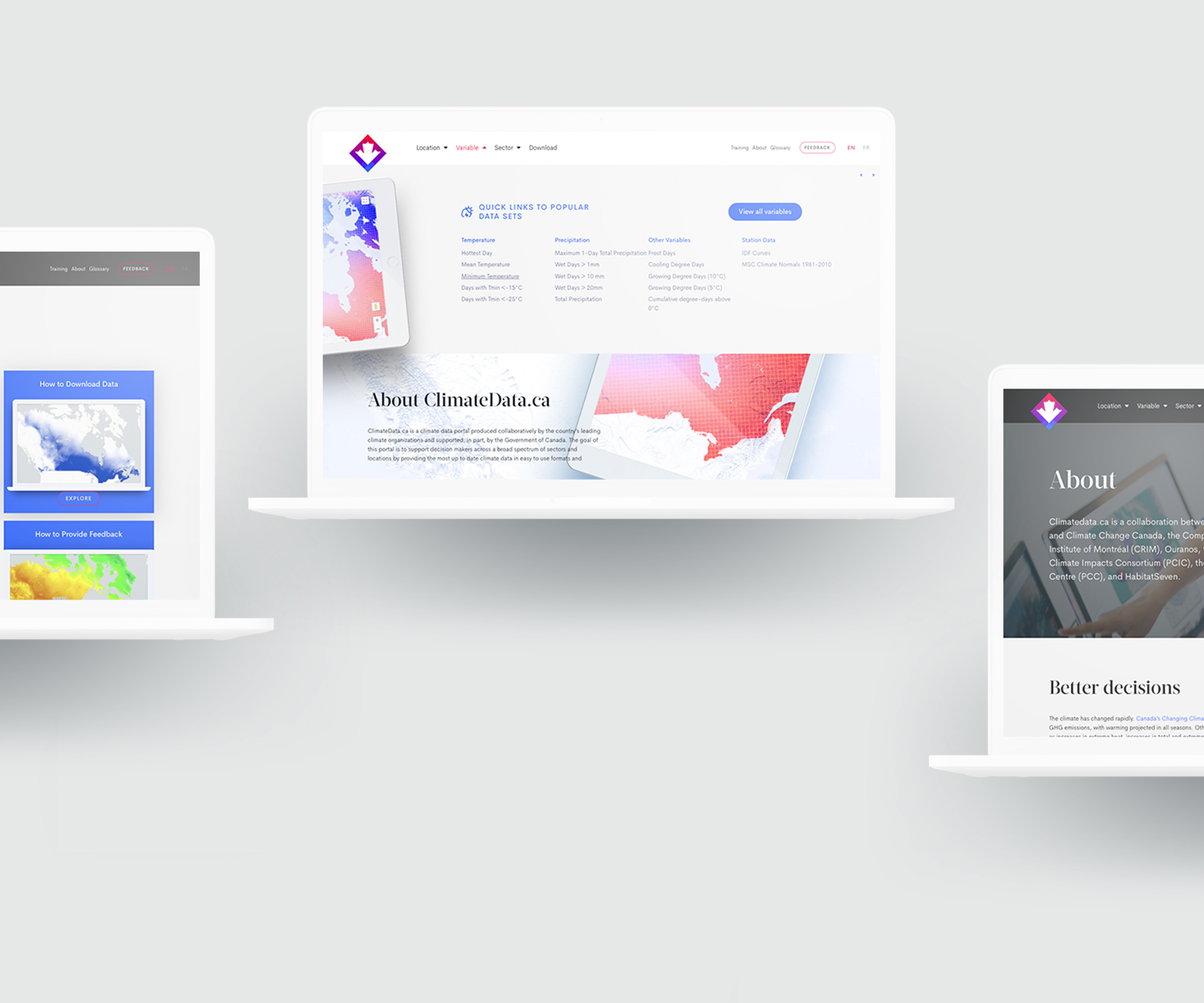
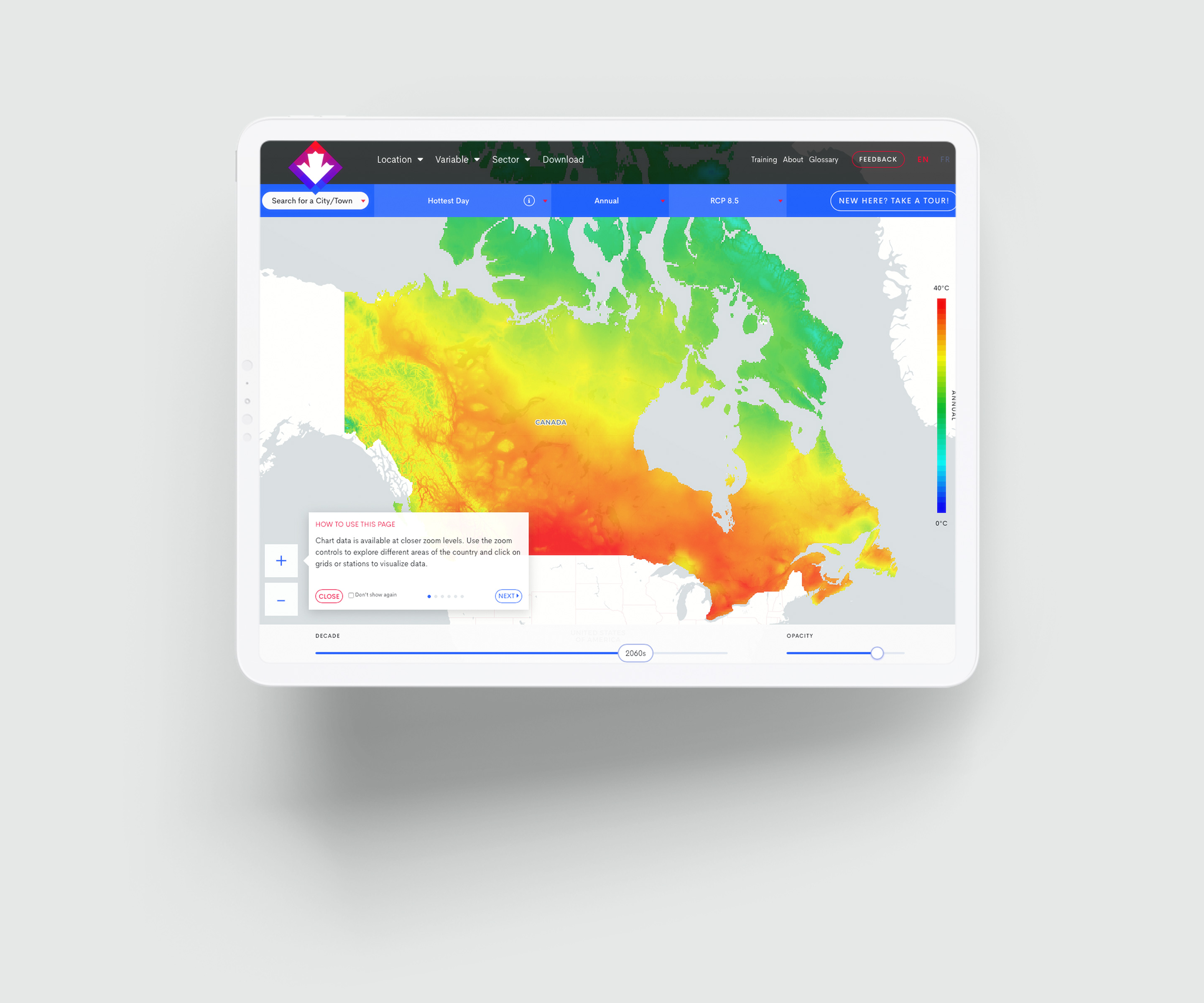
We drew inspiration for the new website for ClimateData.ca’s from the hot and cold spectrum of climate data scales, where annual temperatures range from blue to red. We created an interactive brand that adapts from the homepage and maps, to categories and single layouts.
High-resolution mapping
An integral part of the site is the high resolution mapping and graphing to allow users to easily view local scale data. The mapping system allows users to zoom into 10km by 10km grids that are clickable to reveal underlying time series data.
Full stack development
A web stack was used that included GeoServer on the server side, a full WordPress integration, and front end.
Brand design
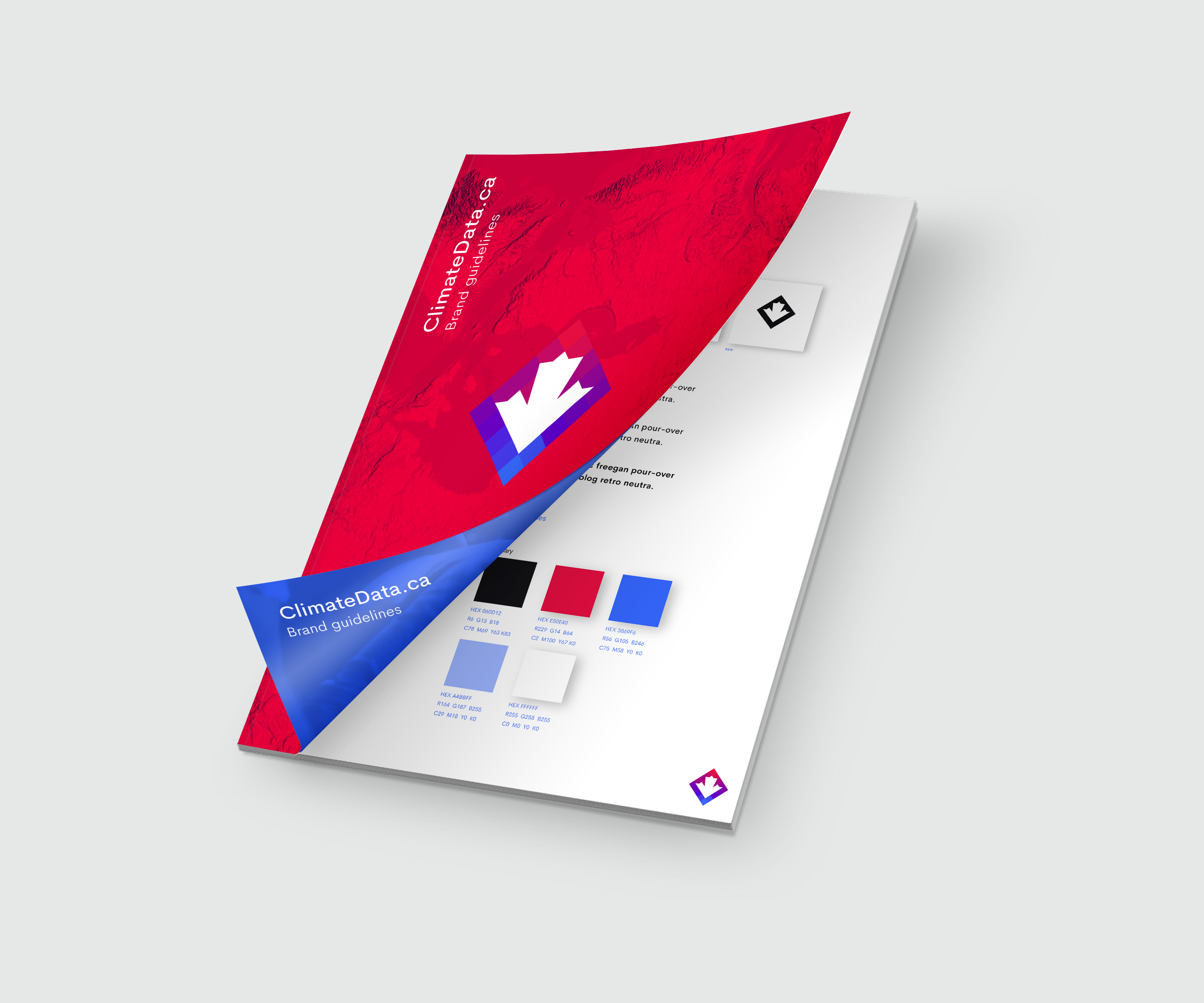
A complete brand design was produced using the red/blue temperature spectrum as the main concept to establish the site as a climate related product.
